

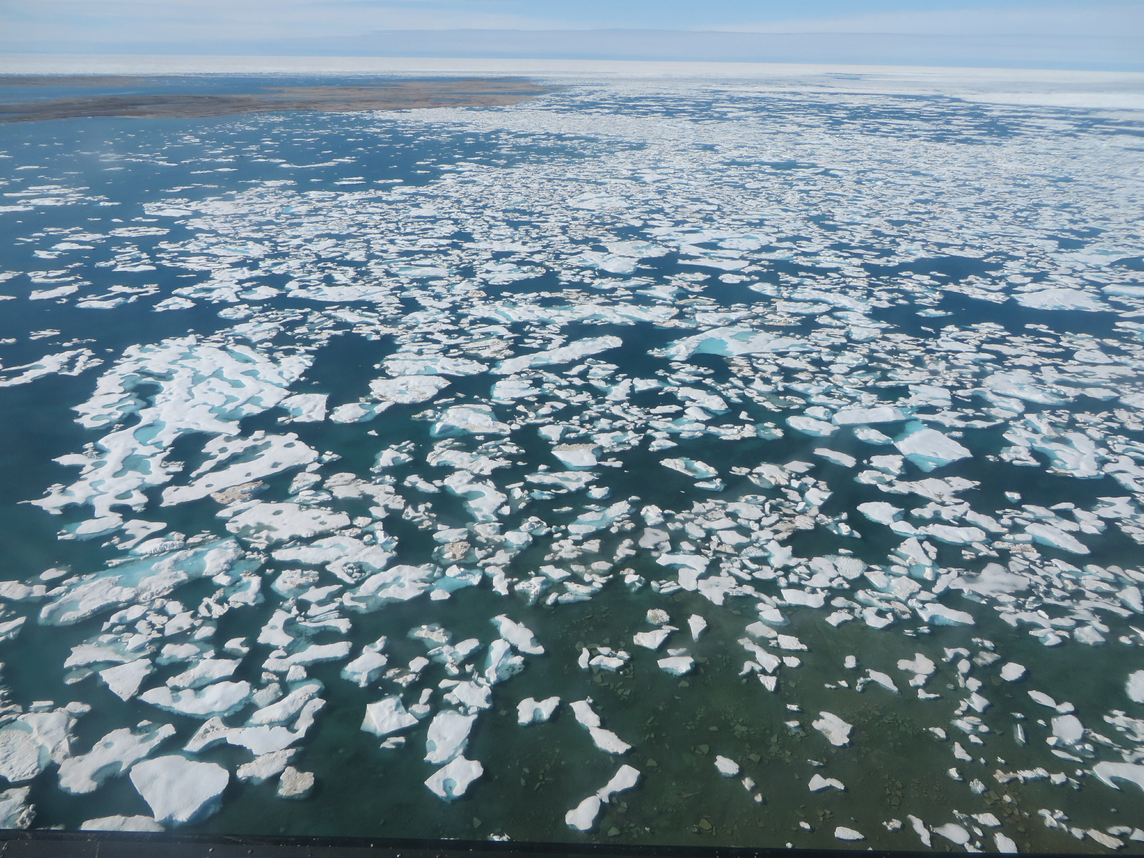
Ice
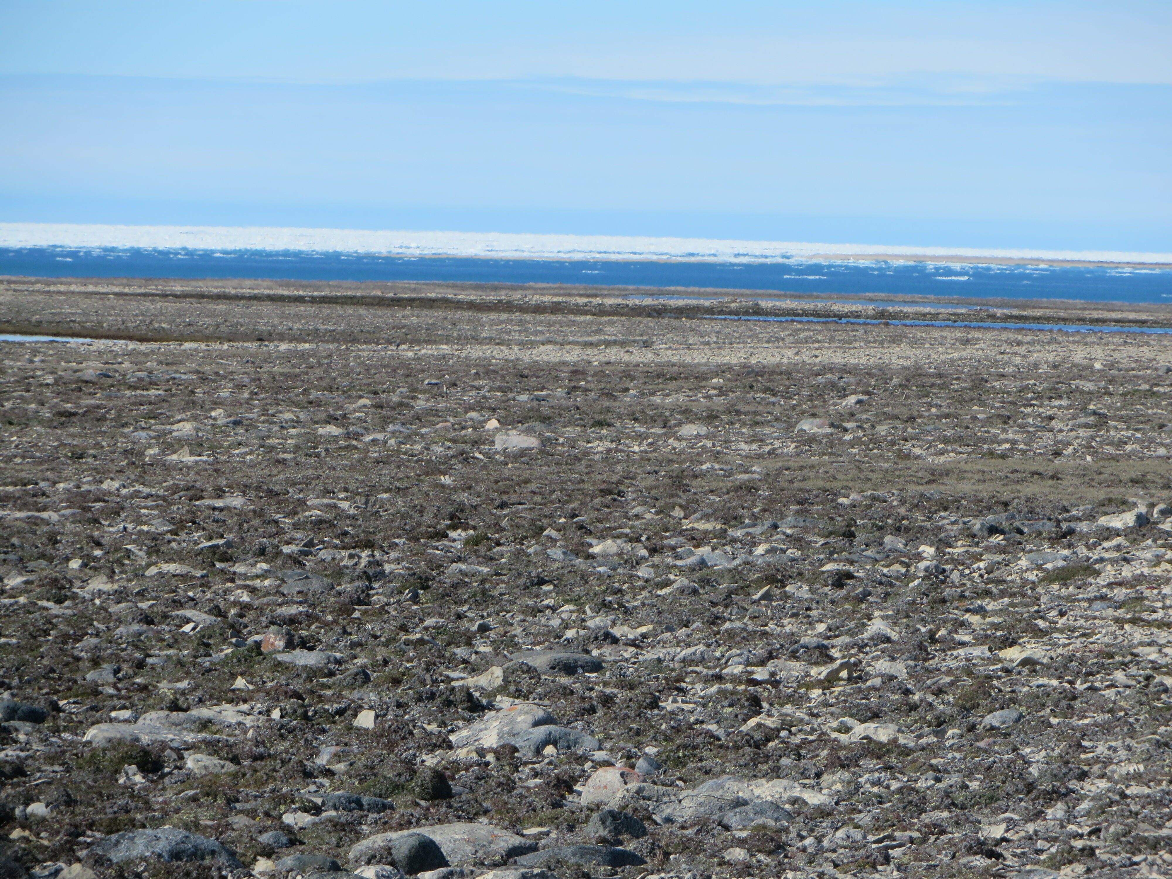
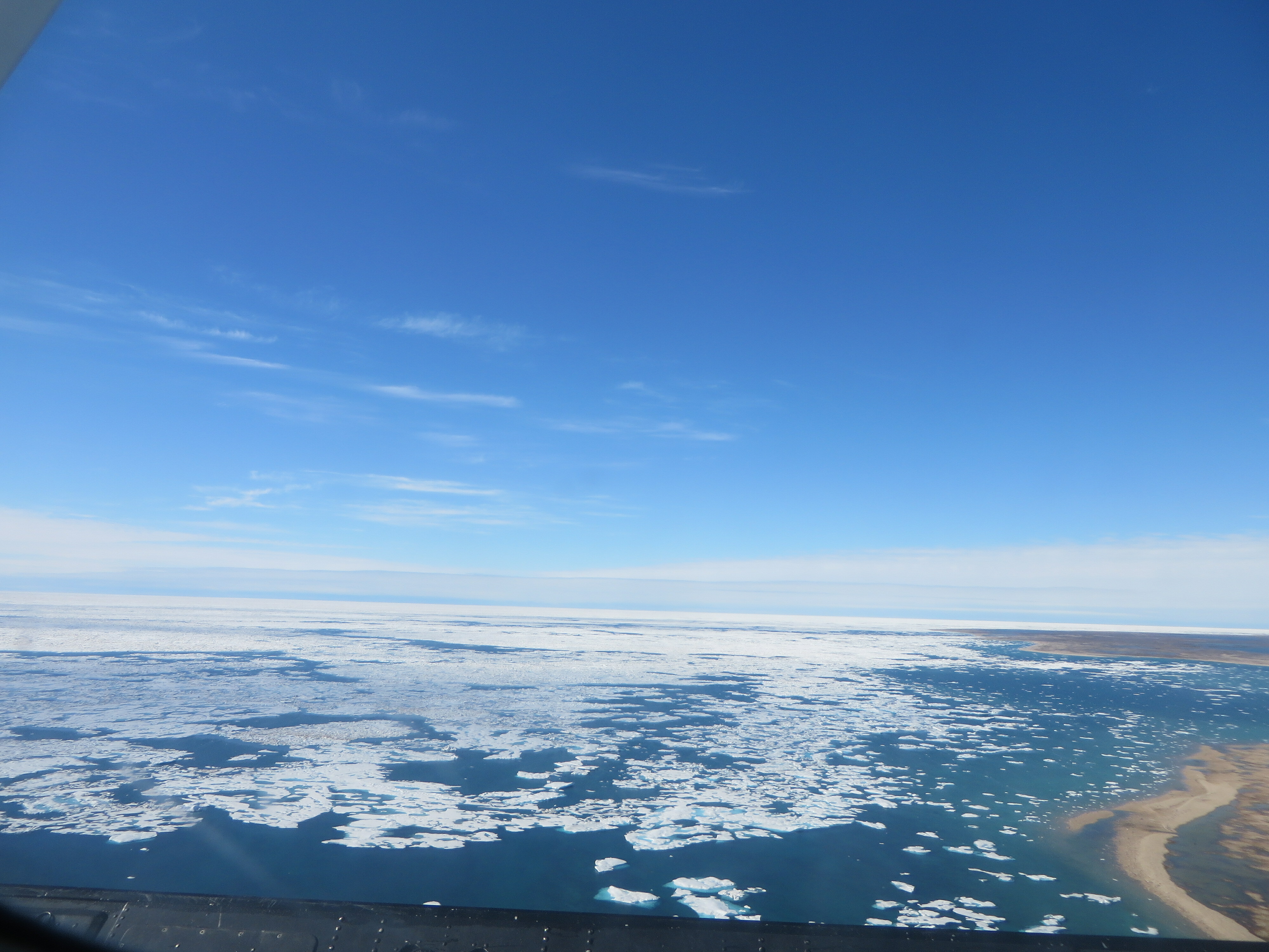
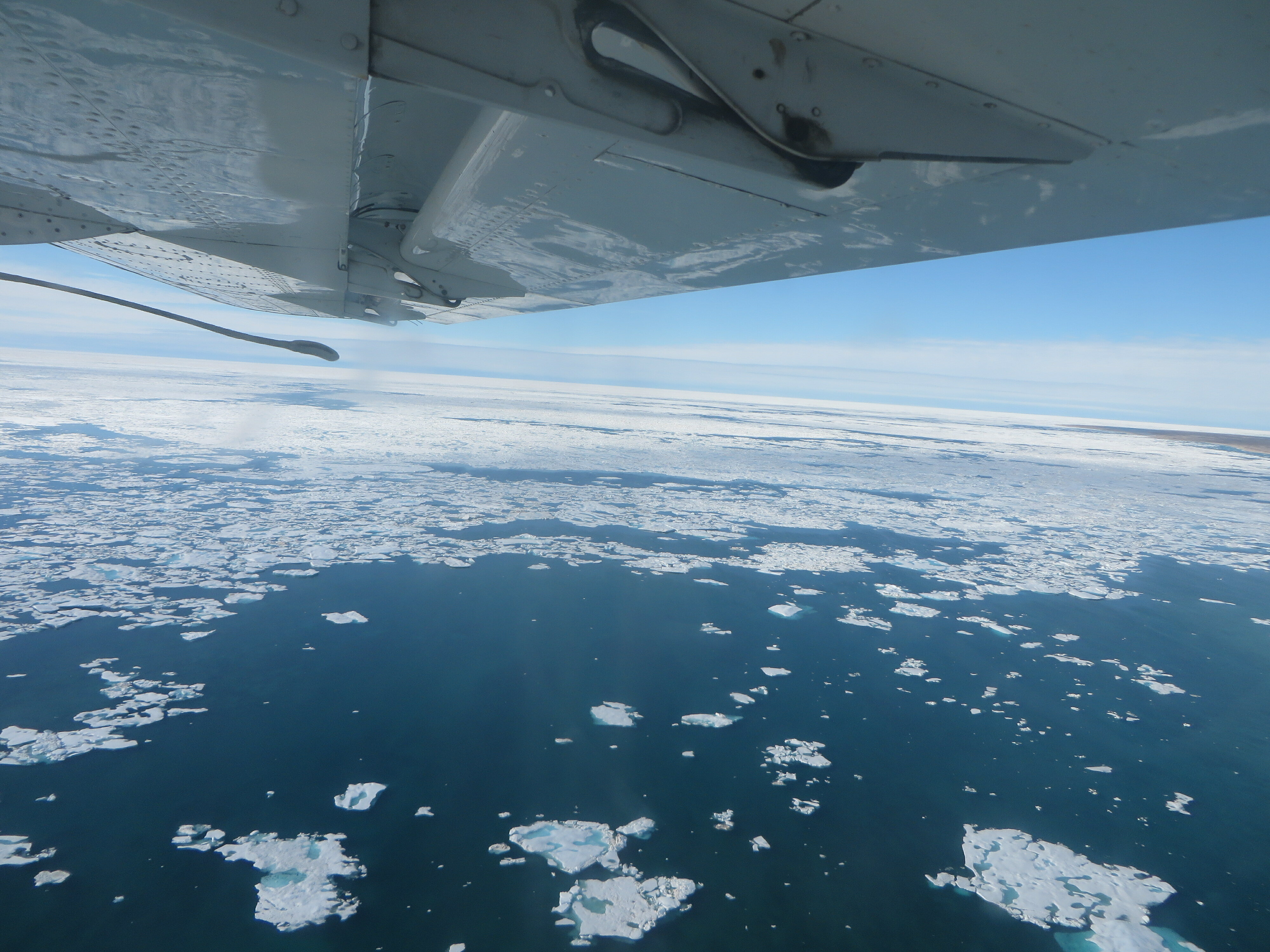
When we arrived on the West Coast there was ice as far as one could see into Victoria Strait. I was happy as that would mean polar bears would not be on shore to bother us. However, it proved to be the bane of ships trying to traverse the Northwest Passage.
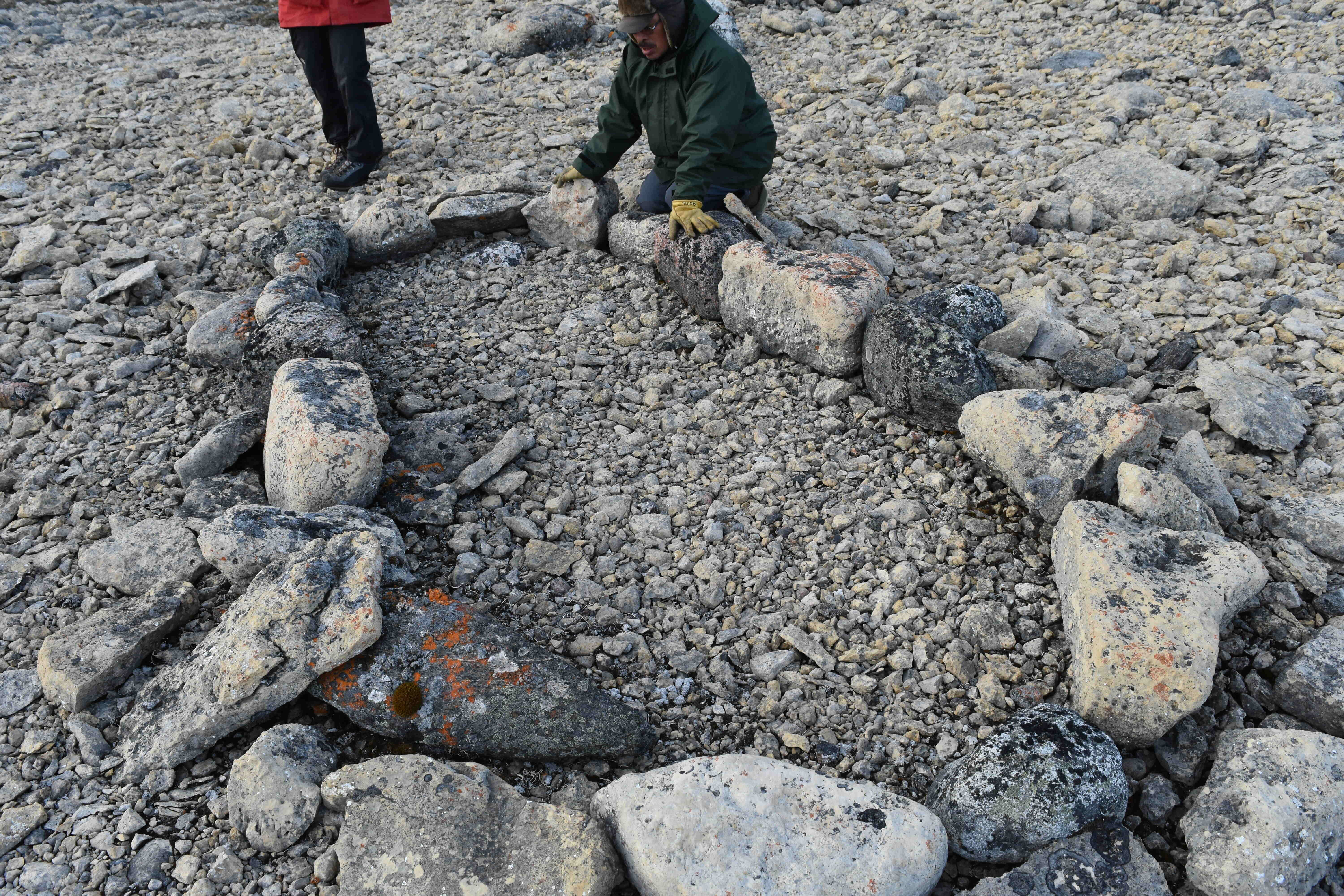
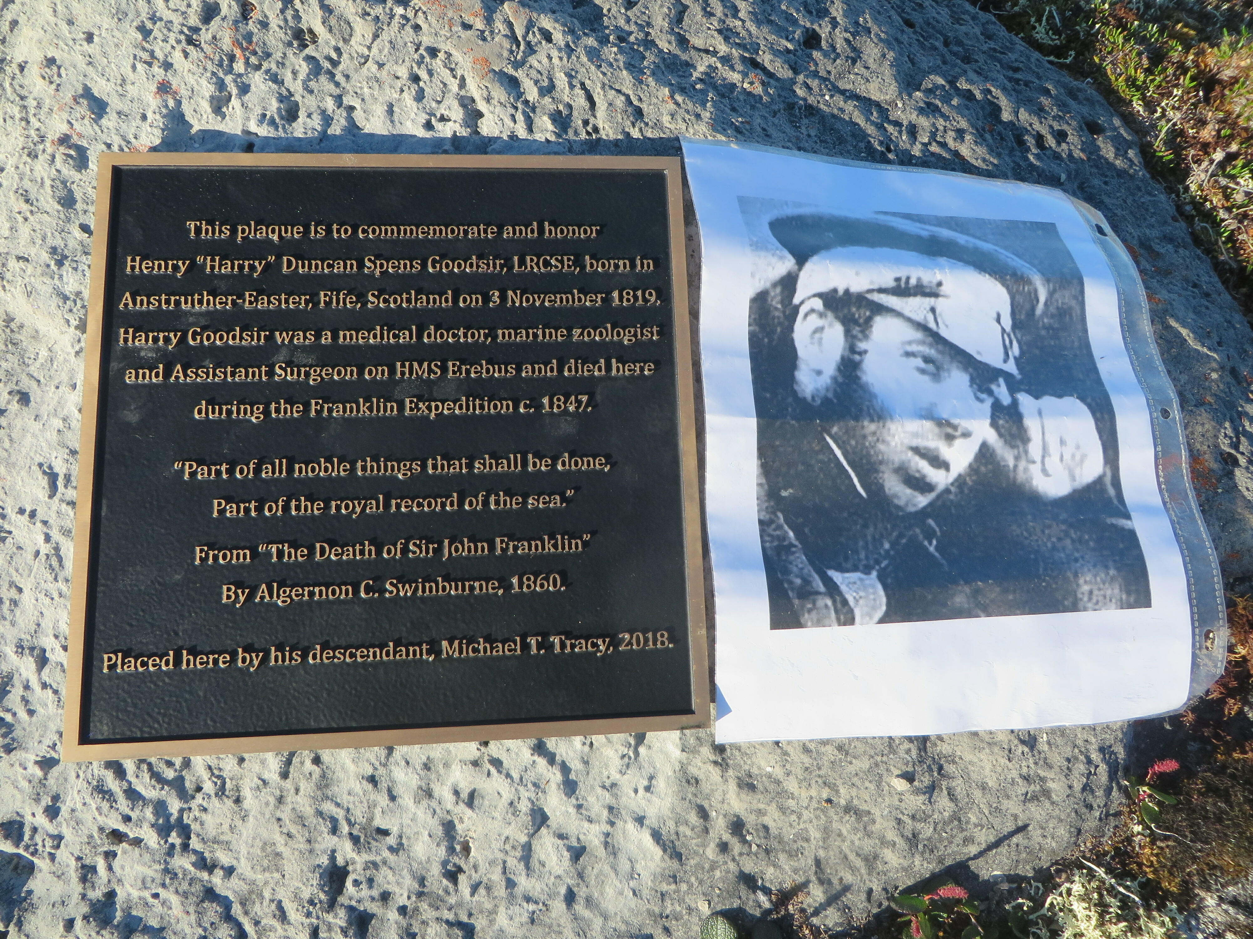
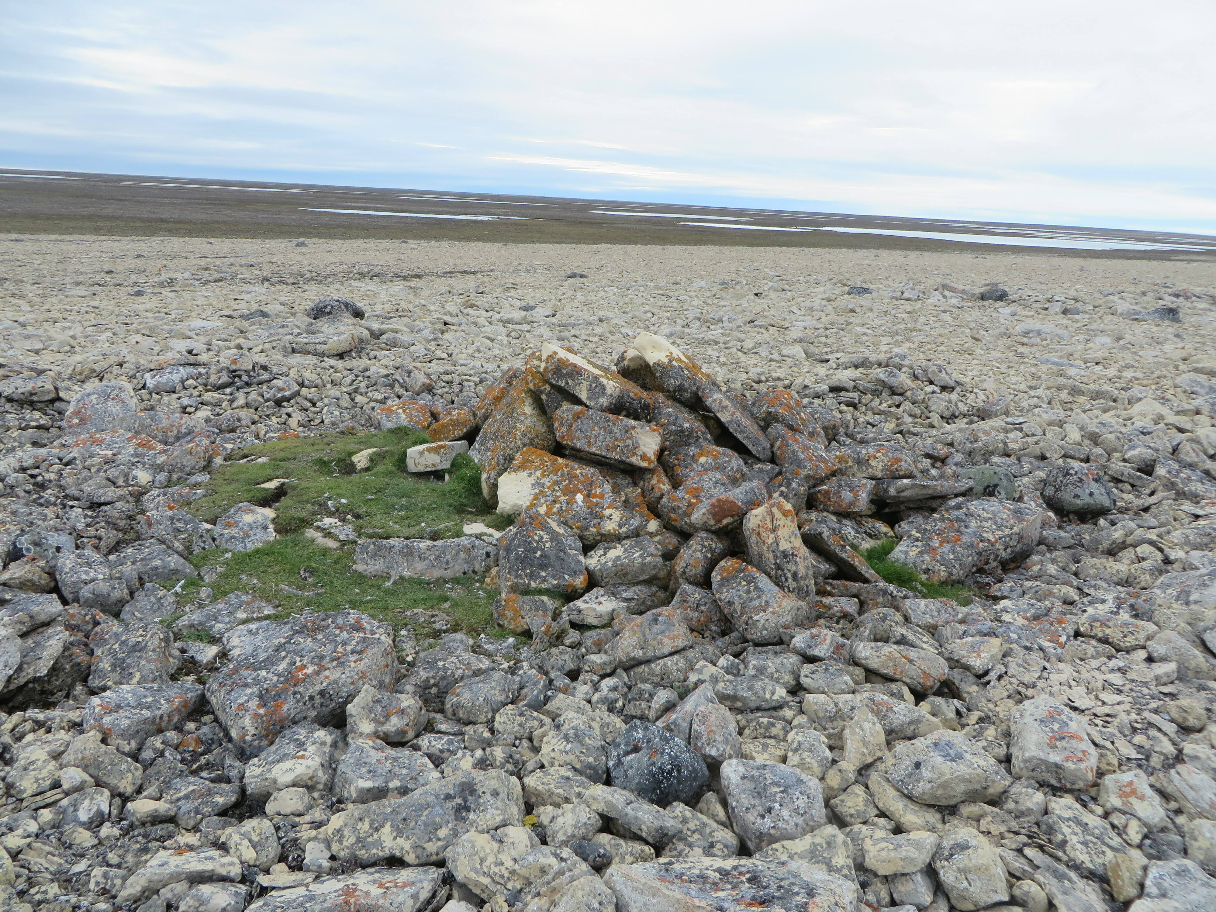
NhLg-1
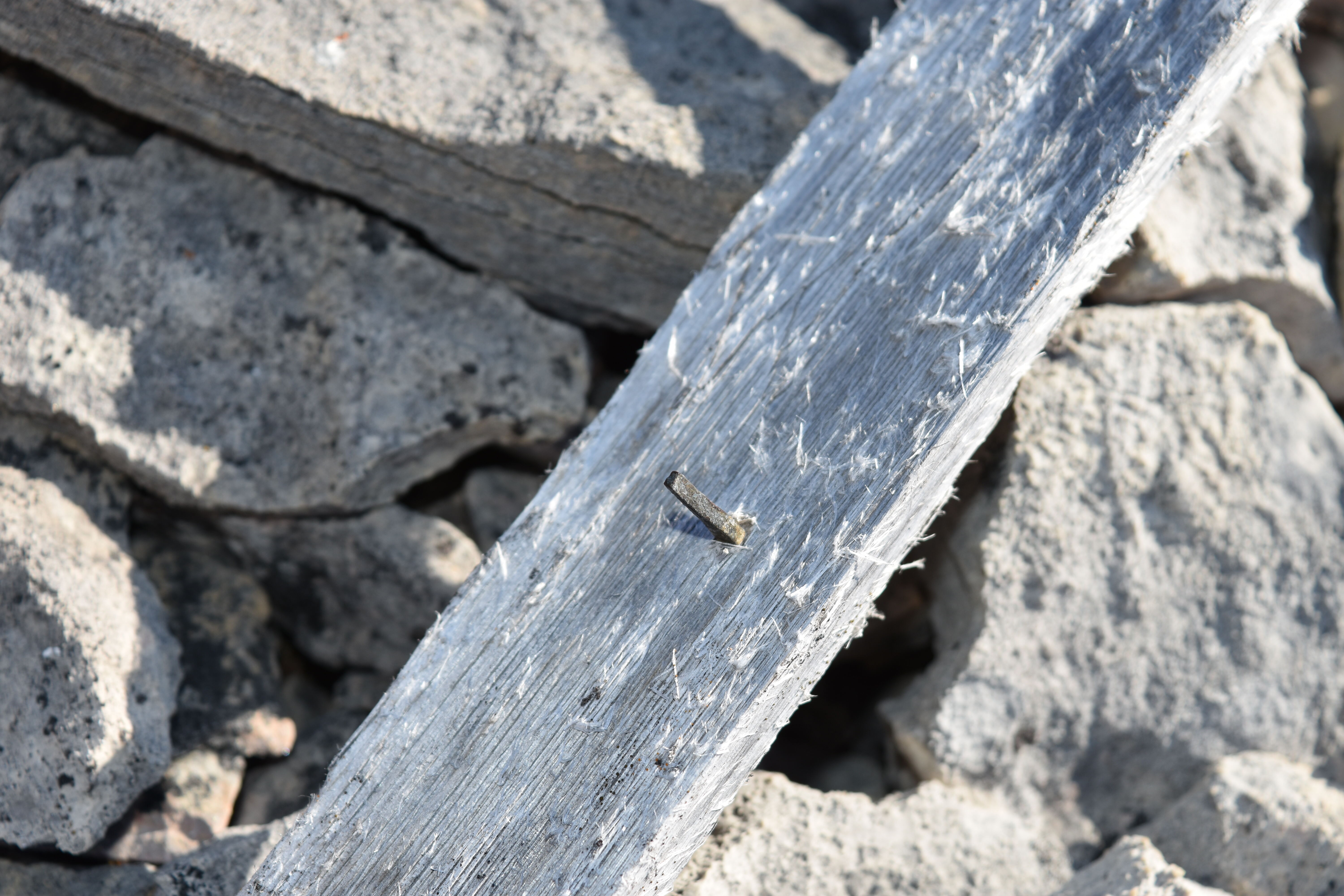
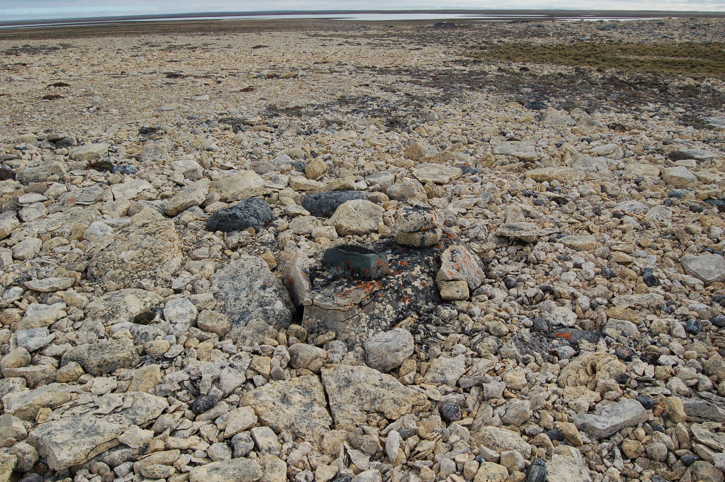
After many years of searching on the ground, from 2015 to 2017 the Bayne / Coleman project began searching from the air. In 2017, both aerial and ground searches were conducted. A large Inuit campsite was discovered along with a soap stone cooking pot that appeared to have been cached hundreds of years ago.
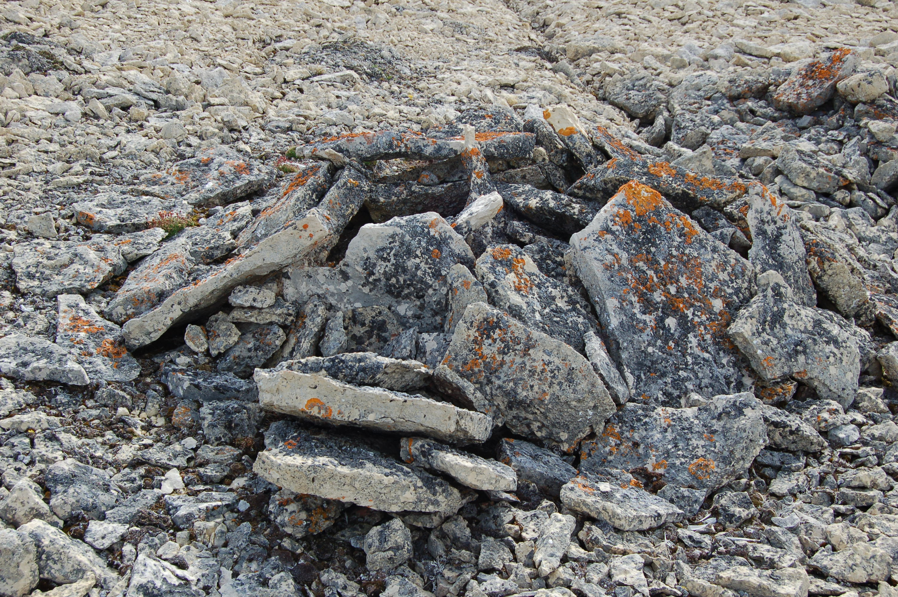
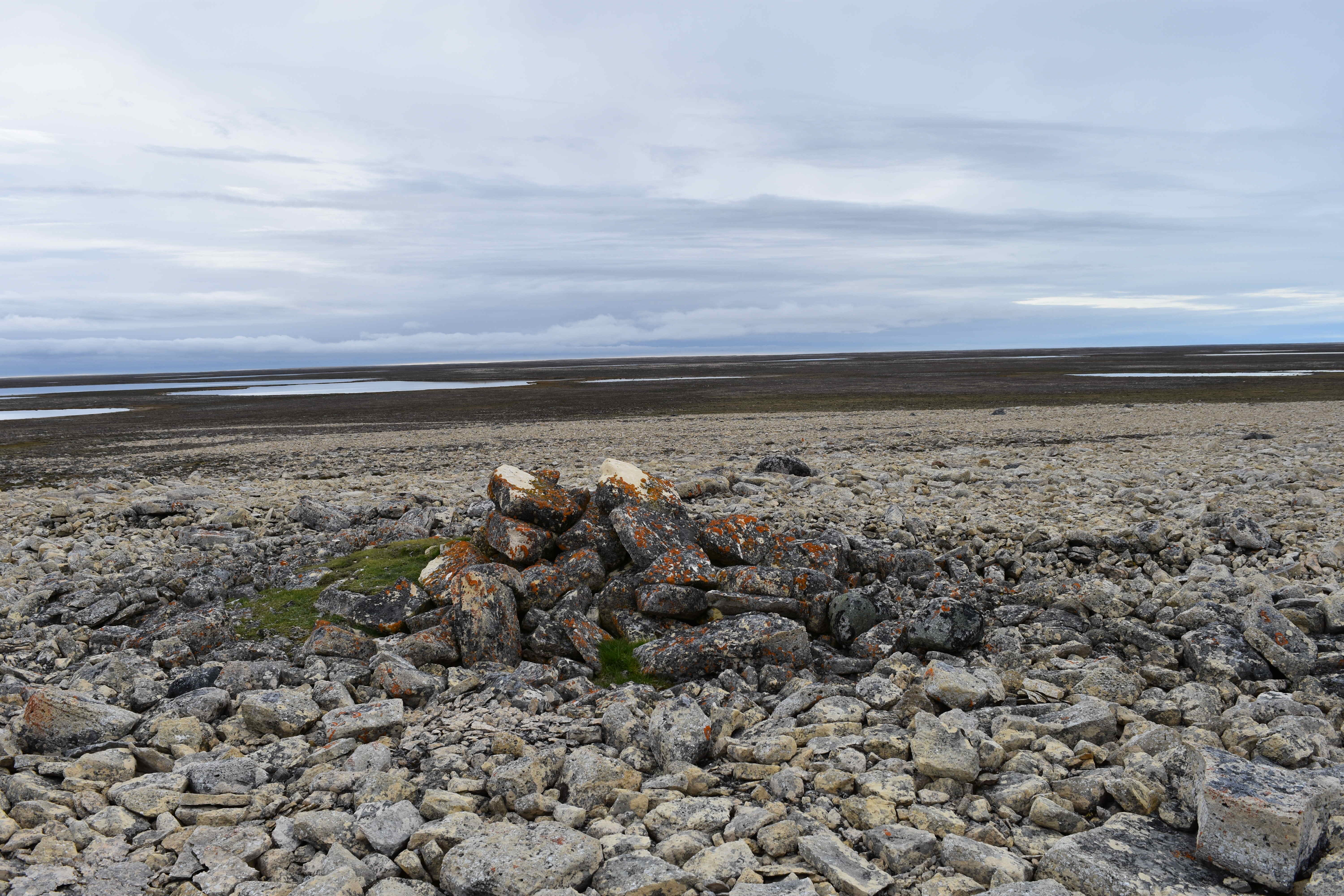
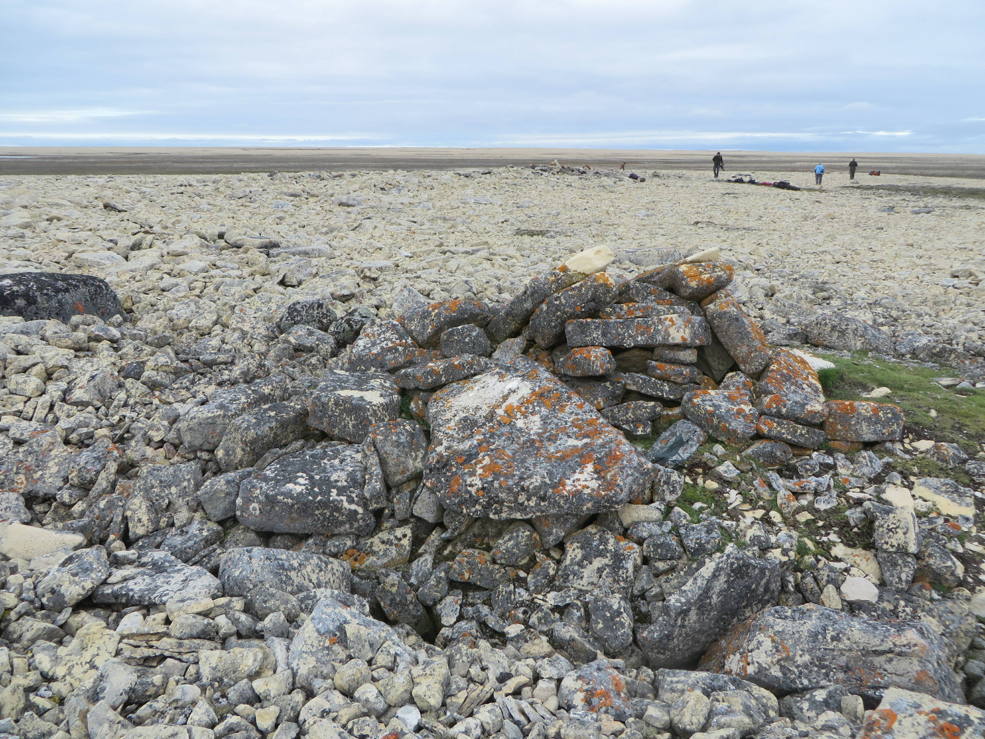
A large stone cairn and some other stone features were also spotted from the air, however it was not possible to land and investigate the site. It was reported to the Nunavut Government and received the site designation NhLg-1.
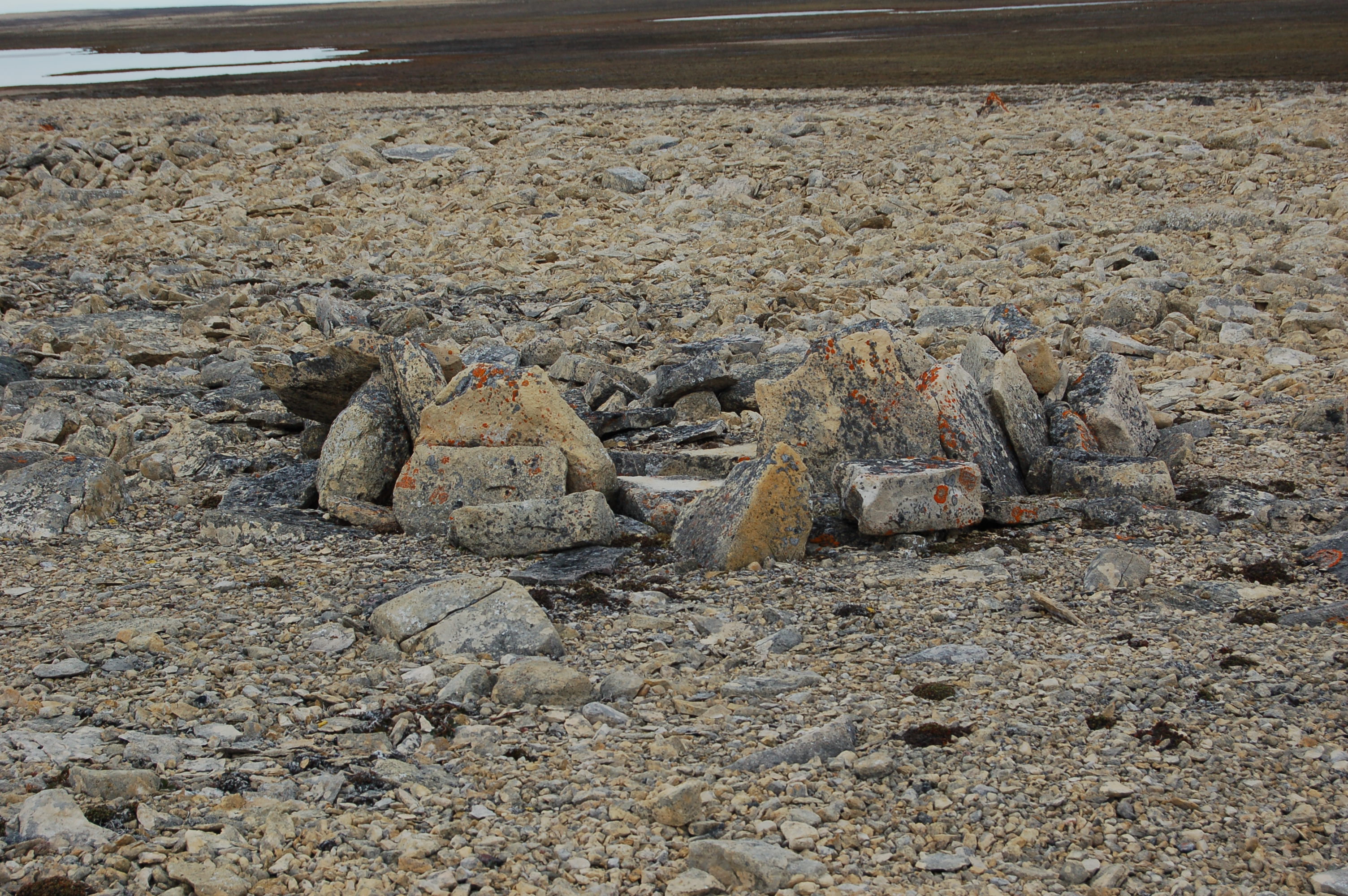
The primary objective of the Bayne Coleman Expedition of 2018 was to survey this site.
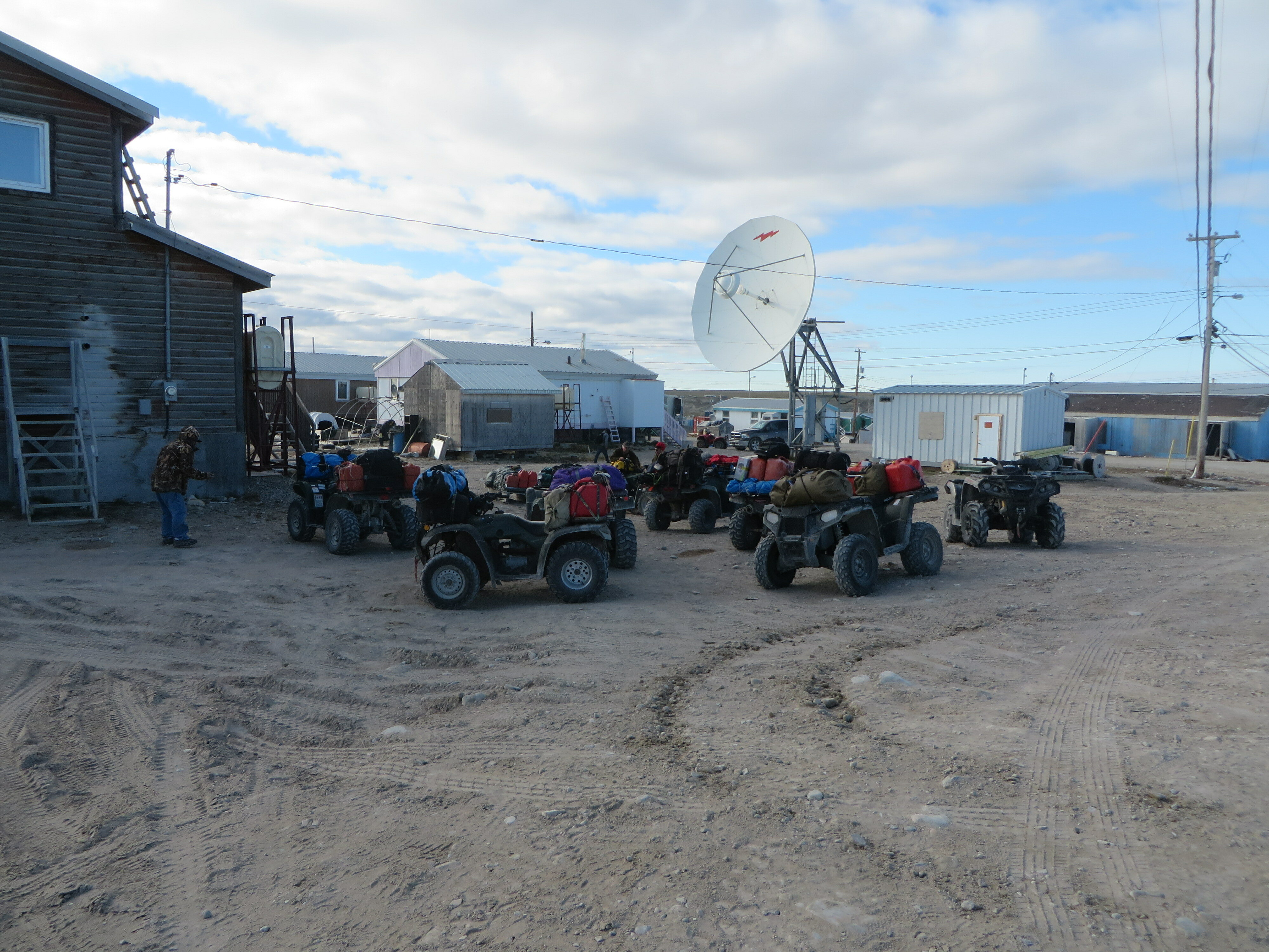
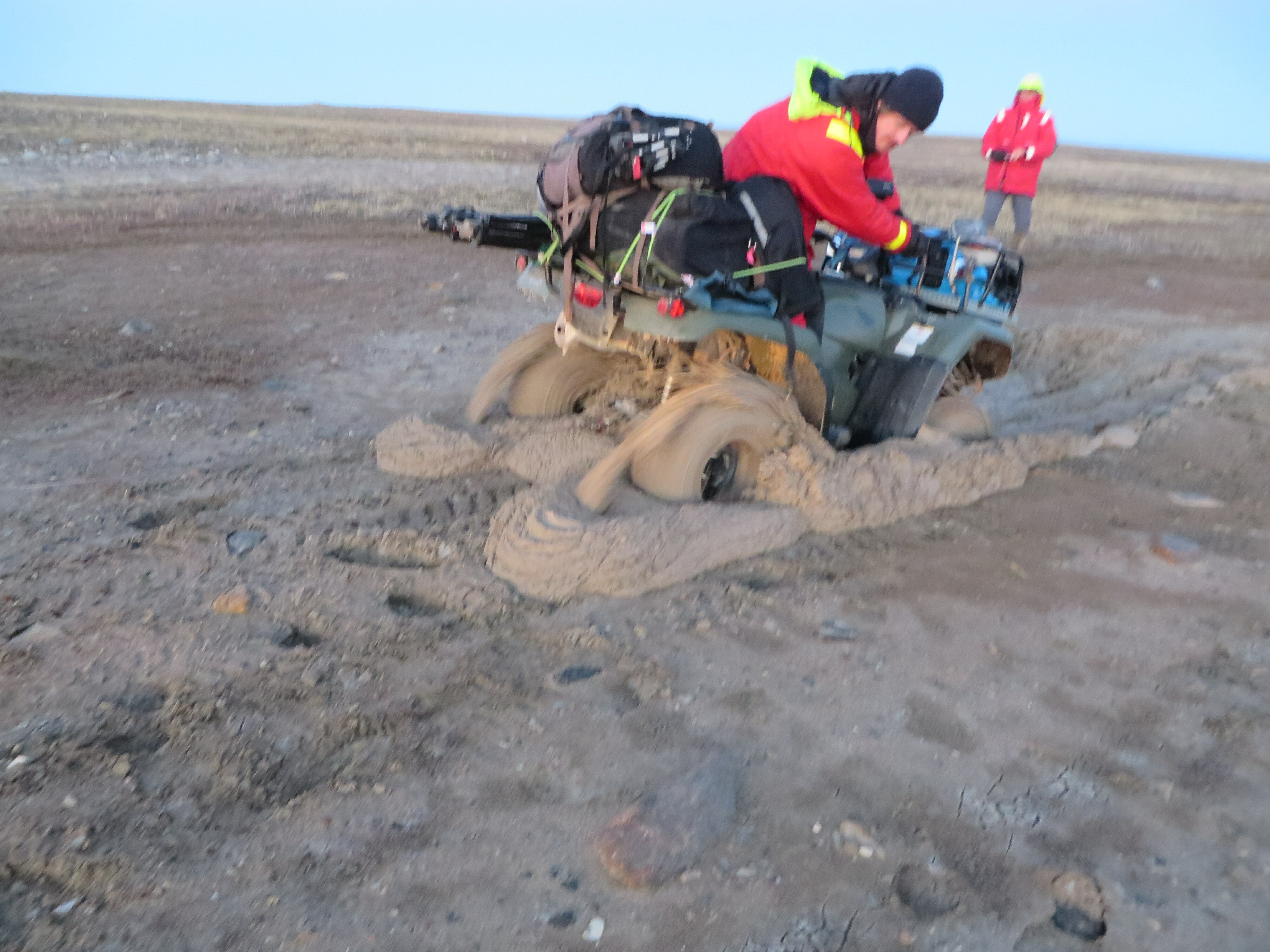
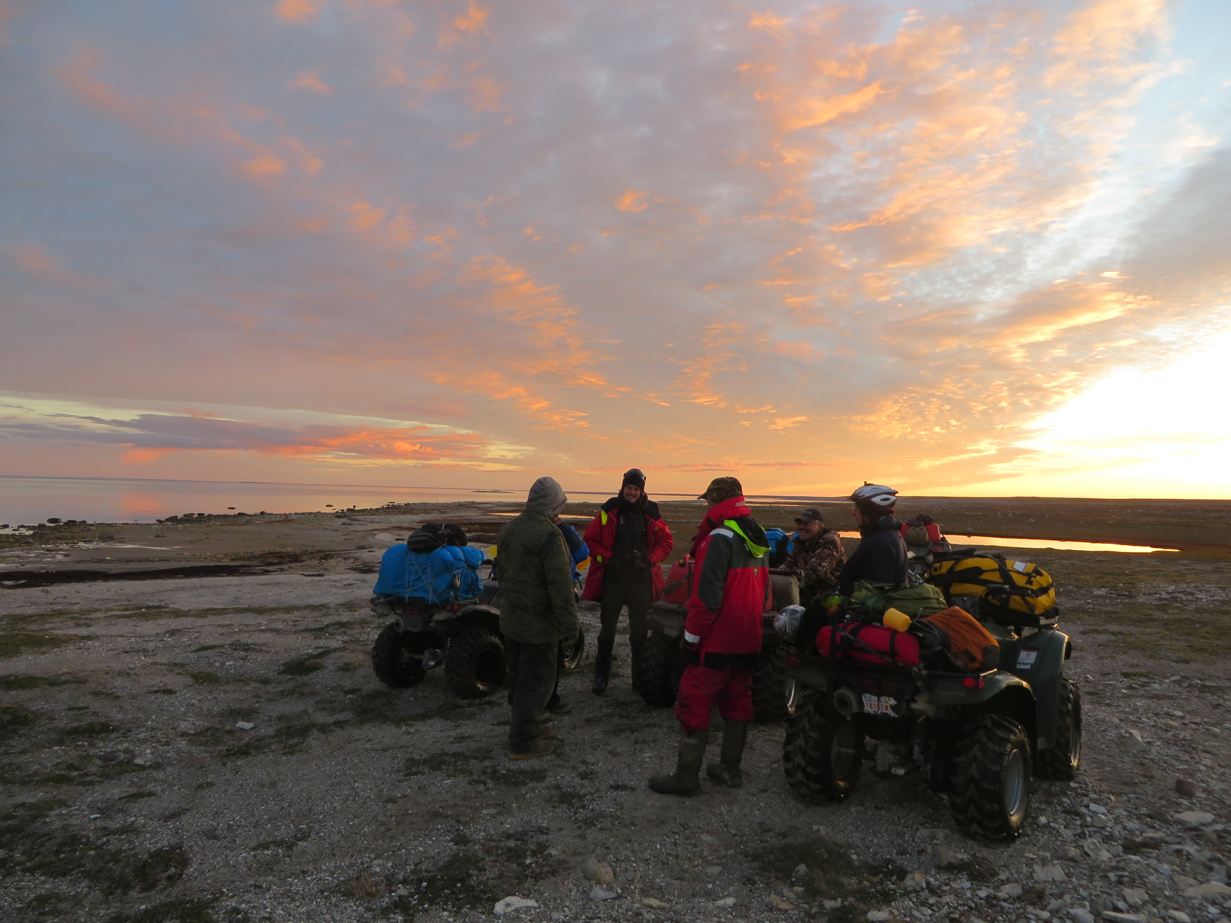
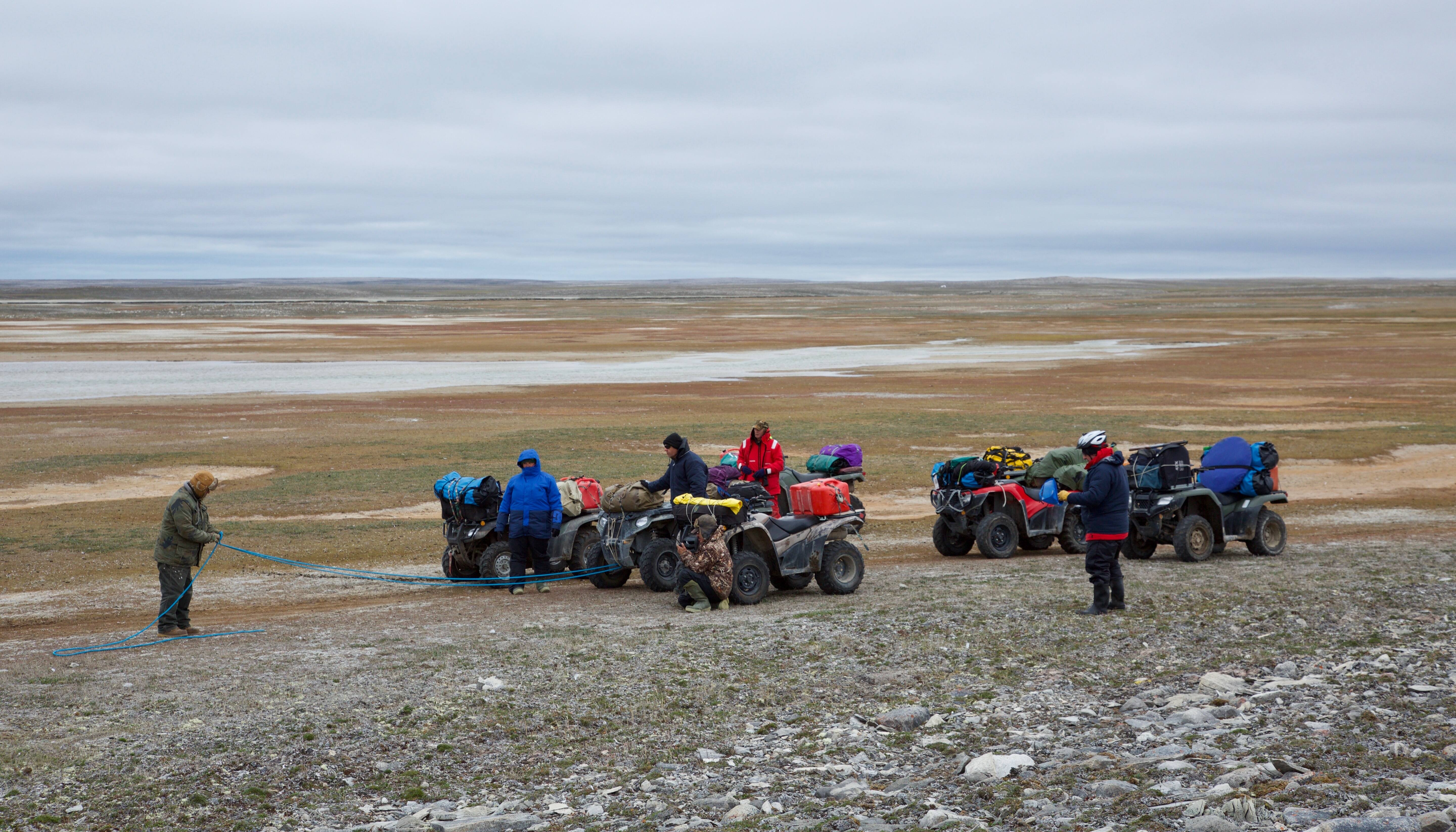
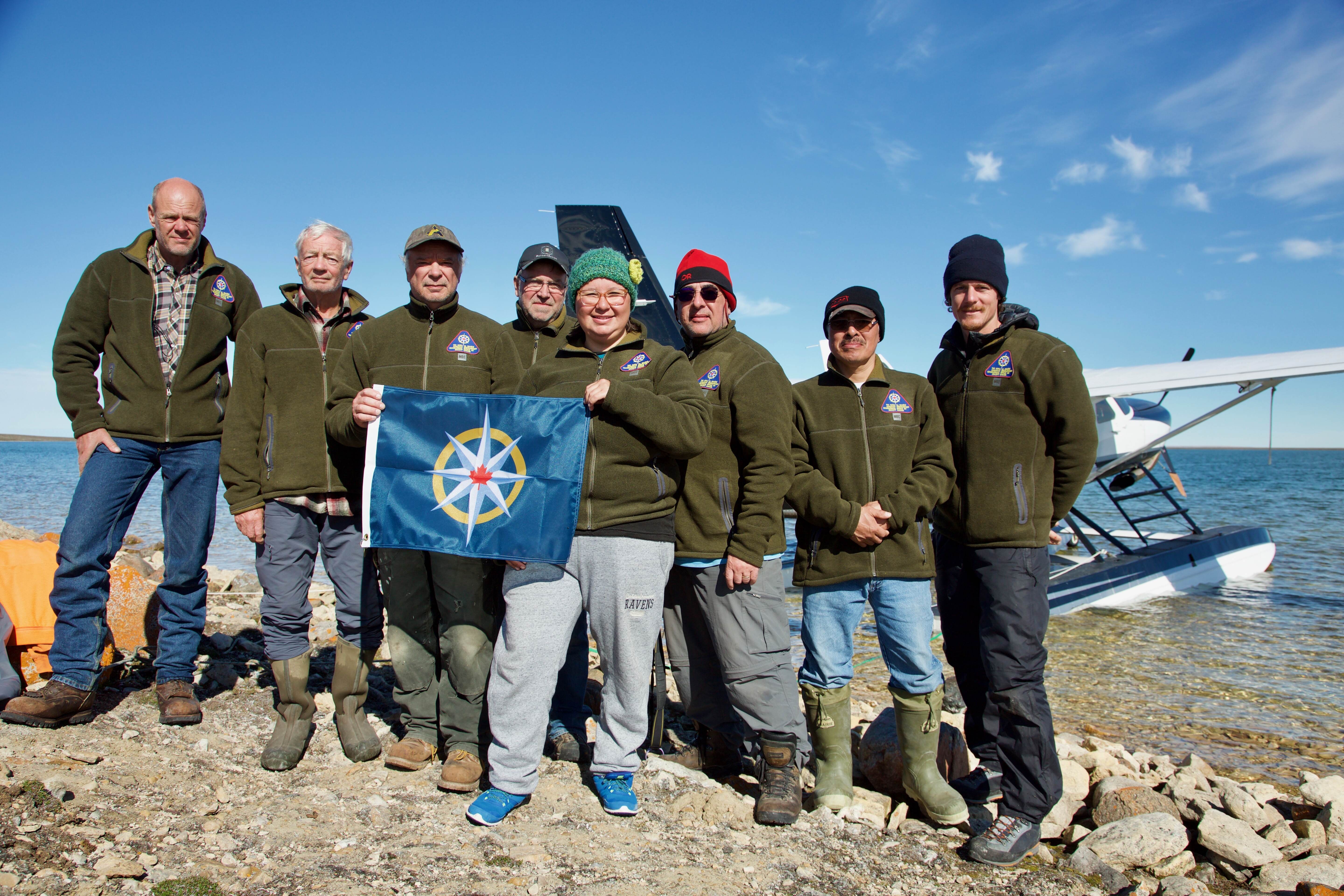
When four of the seven quads the Expedition was using were either broken or questionable as to whether they would be able to complete the trip, we returned to Gjoa Haven to reorganize and figure out how we could all make it to NhLg-1.
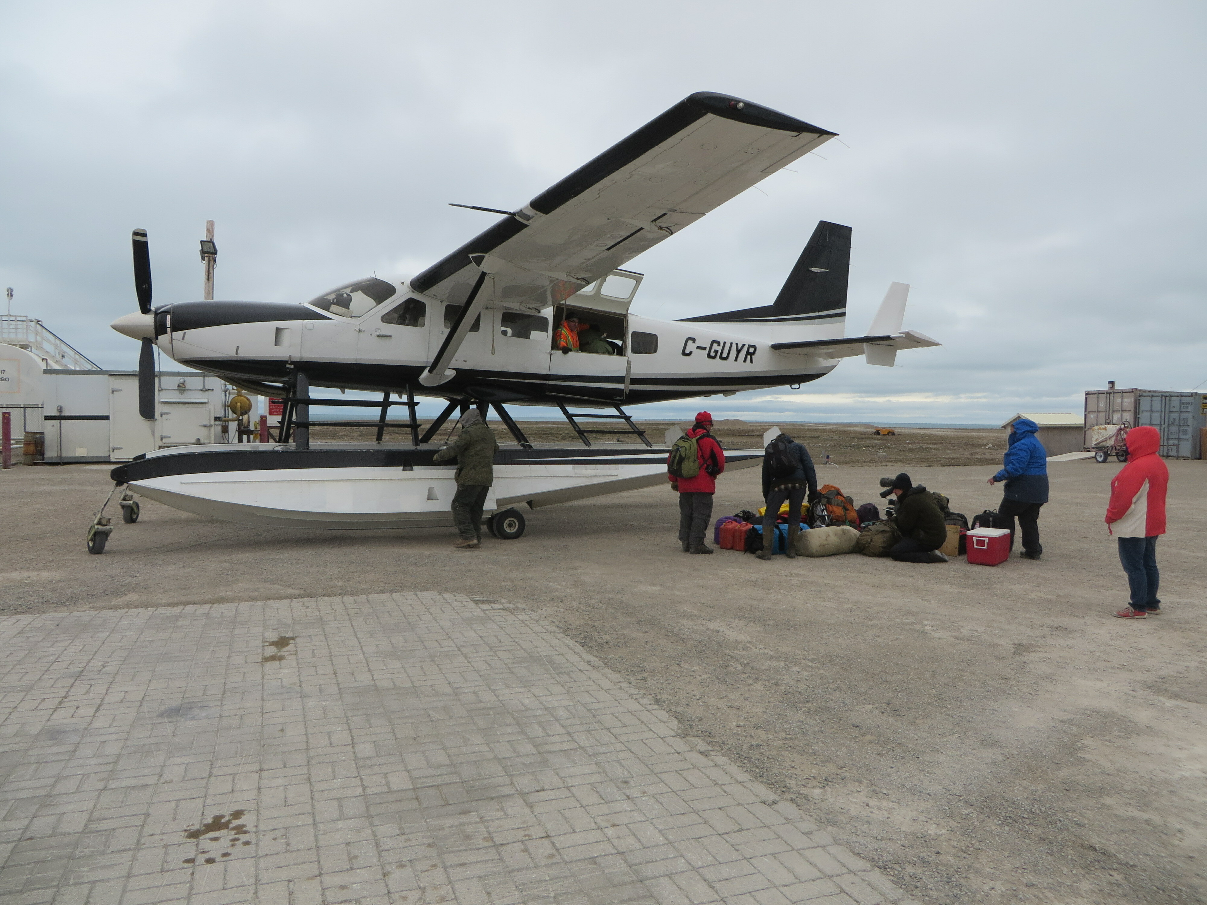
Darcy King was going to fly up with Landa Aviation’s Cessna Caravan and join us on the west coast. The new plan was to use the plane to fly everyone out to the west coast and at least make it to NhLg-1.
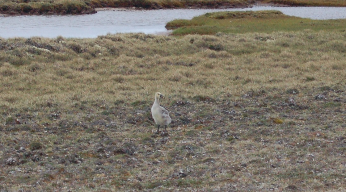
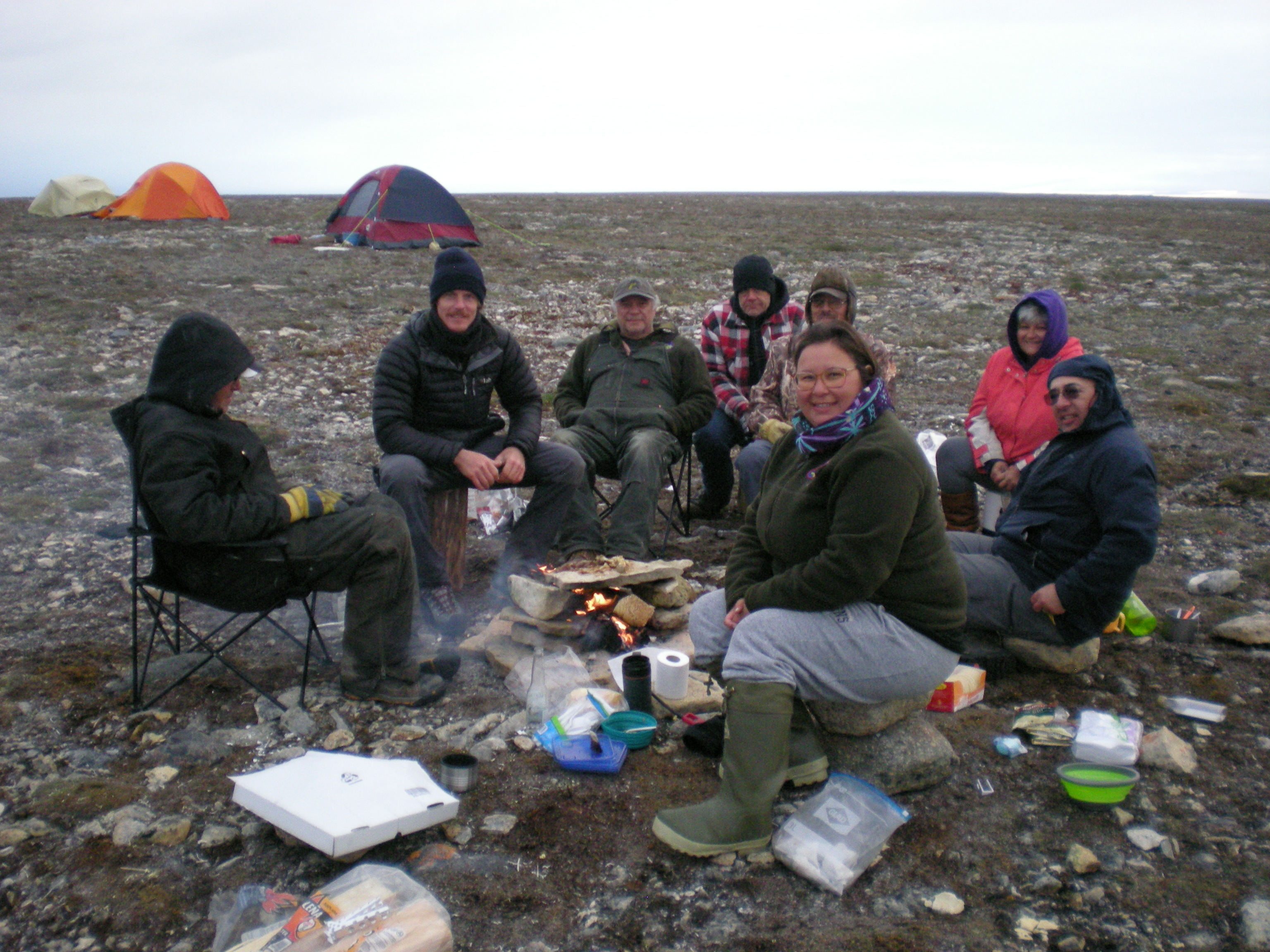
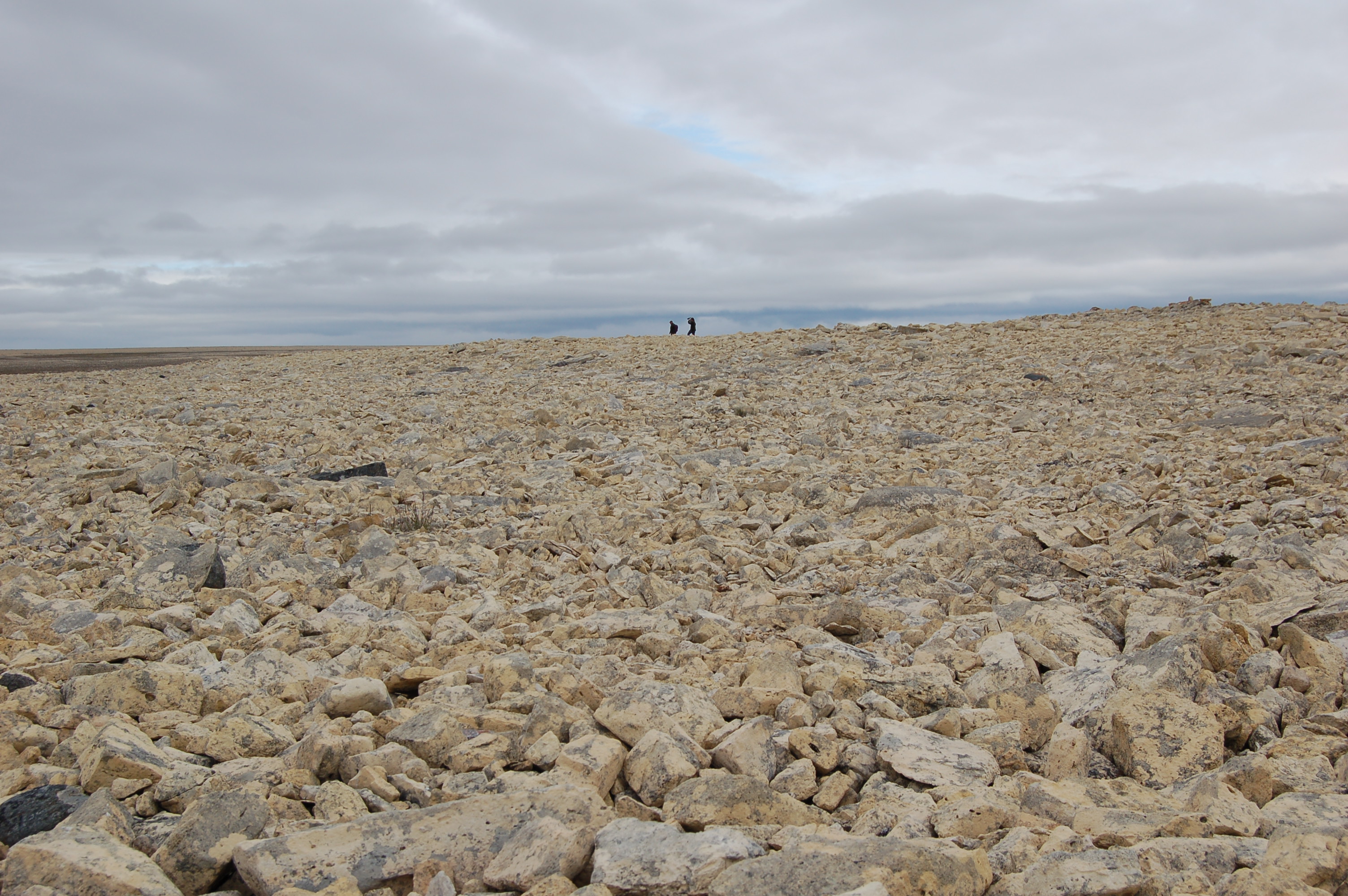
We camped at the closest lake upon which a float plane could land. Five of us made the six mile hike to the site (the majority of whom are now “desk jockeys”, somewhat past their best hiking years). On the way we stopped and visited the Inuit campsite with the soapstone cooking pot.
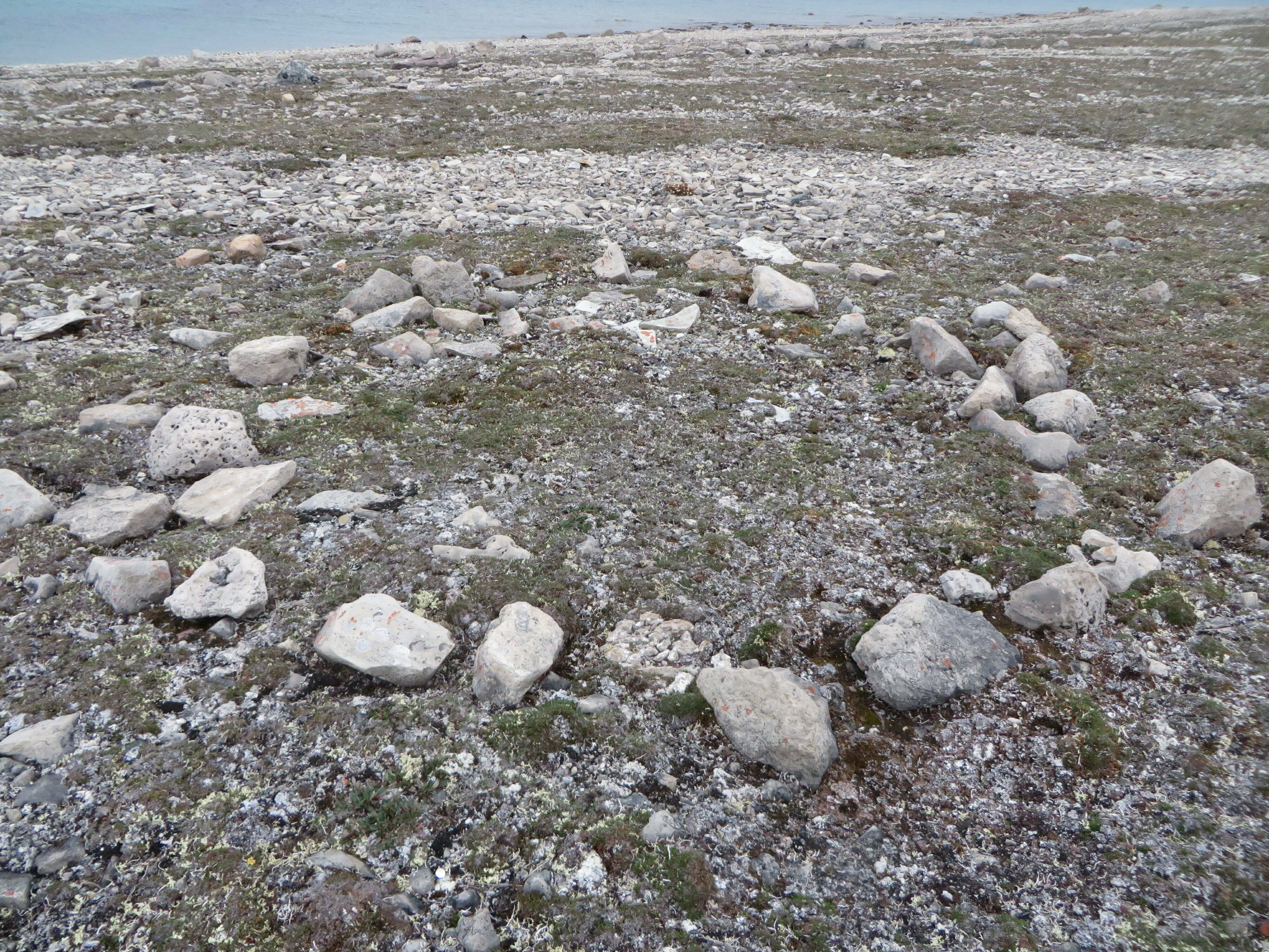
Disappointingly, NhLg-1 was a native camp and cache site; not Franklin related (most likely Thule). Although, the size of the toppled cairn (when it was standing) begs the question of European involvement.
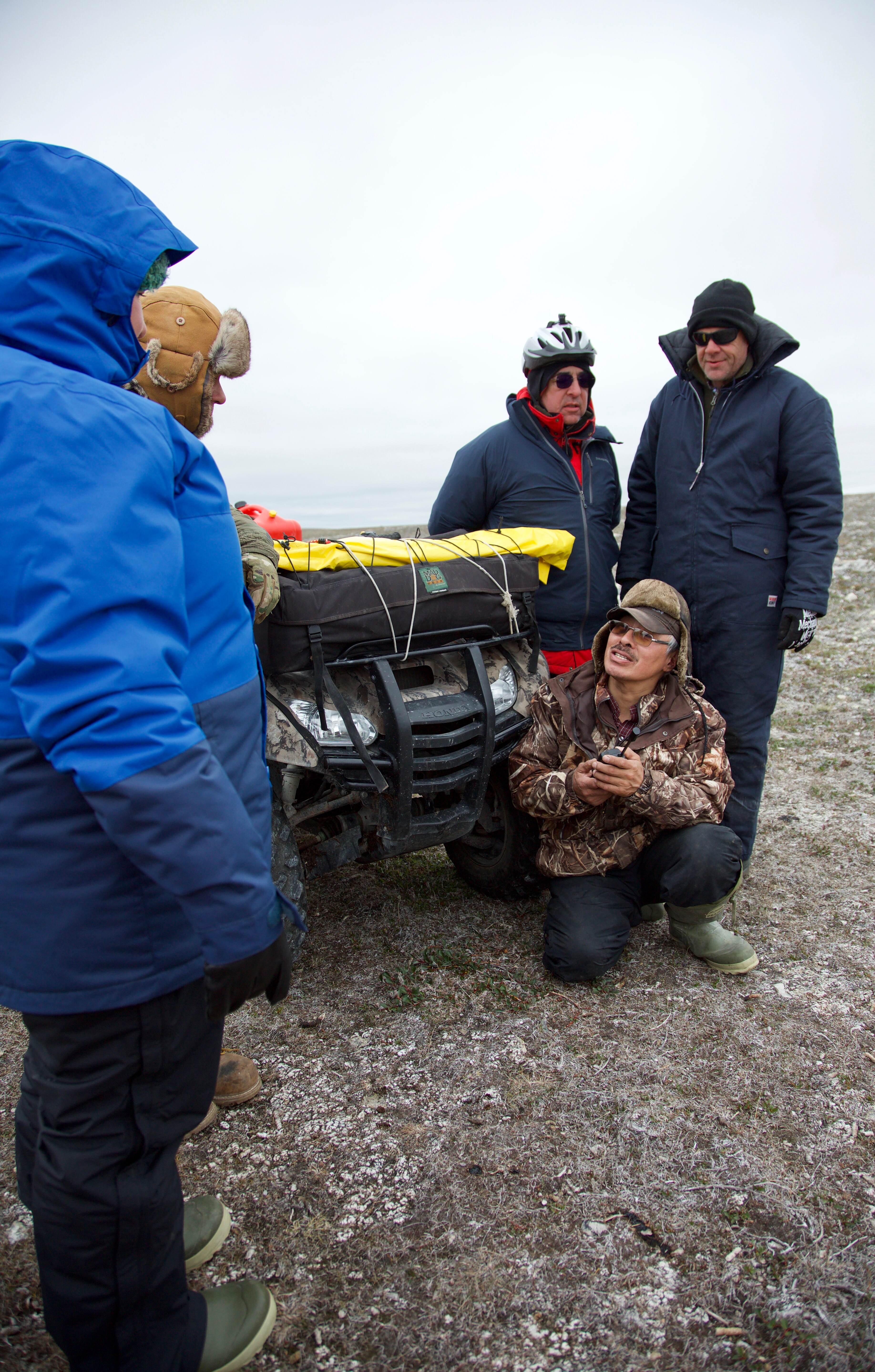
The Hike to NhLg-1

NhLg-1


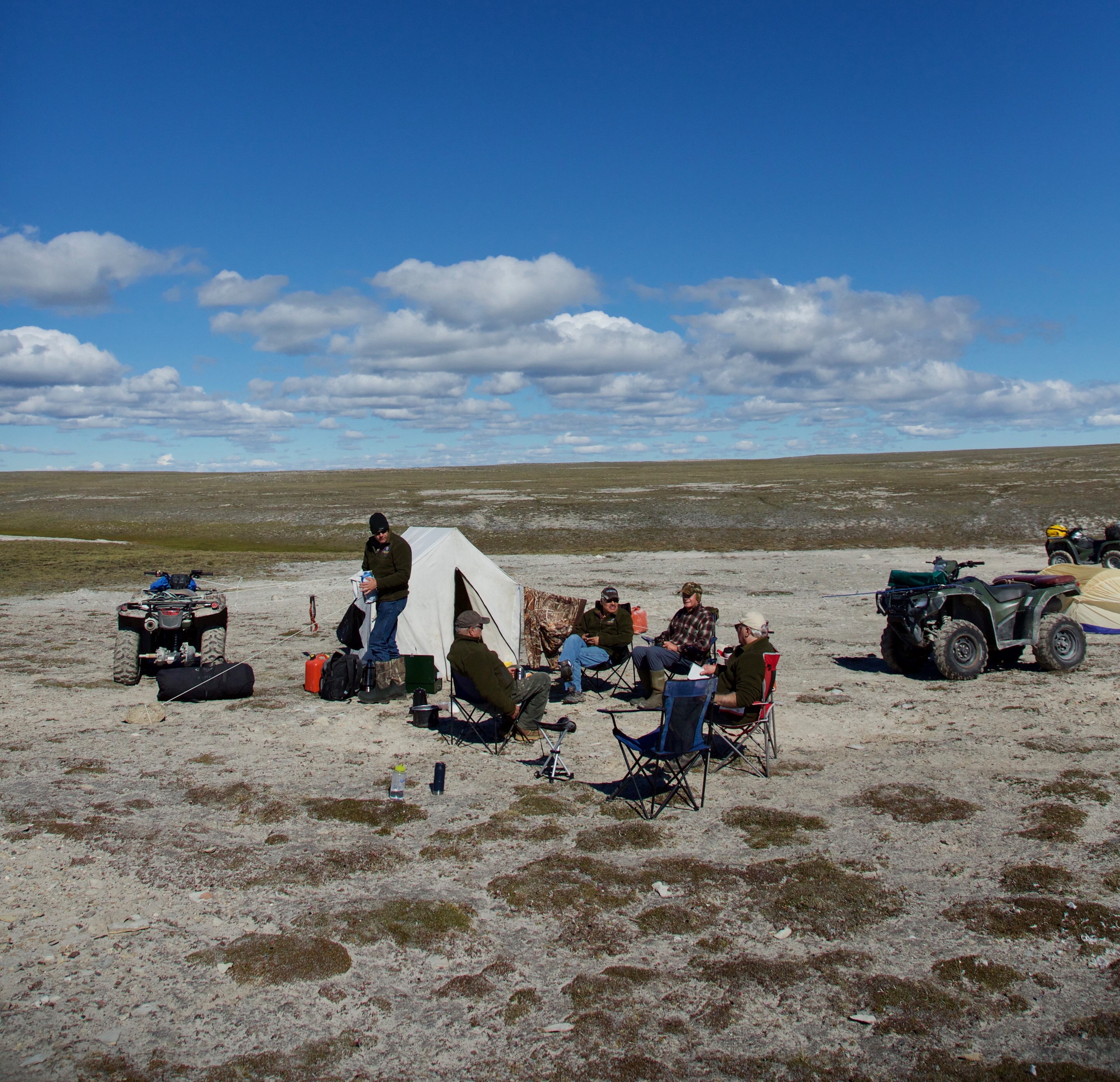
After NhLg-1
After NhLg-1, the Expedition Team flew back to Gjoa Haven. Tom, Jacob and Dom took the three quads that still showed some signs of reliability and went back out to the west coast to film more of the sites Tom had found in previous years.